We're excited to share what we're working on and our oversubscribed seed round led by Felicis, Inovia, and Naval Ravikant.
Read the announcement

Enabling cross-domain
autonomy through software.

The first unified spatial AI stack for mapping and navigation across different vehicle types.
Camera-based, interoperable across manufacturers, and completely GPS-denied.

Air

ATOMS
01
Camera-based navigation (GPS-denied)
02
Collaborative autonomy
03
3D mapping & semantic understanding
Quadcopter
Helicopter
Fixed-wing

Offroad

ARA
01
Camera-based navigation (GPS-denied)
02
Collaborative autonomy
03
Collaborative 3D mapping
Small ground vehicle
Large ground vehicle

Sea

Riverside Research
01
Littoral navigation
02
Open water navigation
03
Camera-based range estimation
Small surface vessels
Large surface vessels

The human-way to navigate: adaptive and robust.

[ 01 ]

Build maps, persistent memory

We build internal representations the robot can carry with it globally useful for navigating anywhere, not one-off scans that get thrown away after each mission.
[ 02 ]

Superhuman map reading

Like a human matching a paper map to the street in front of them, our system reads any 2D maps from a camera of any view. No LiDAR, no preloaded 3D maps.
[ 03 ]

Camera-based, or camera-only

We support a wide range of cameras thanks to working closely with all leading OEMs. Runs on your existing cameras and on-device compute. No added hardware.

Backed by top-tier investors who share our bold vision

Press

Five futuristic robots with dark visors standing in a row against a blue-black background with TechCrunch logo.

Tera AI comes out of stealth

Coverage of our funding announcement and cross-platform autonomy thesis.

Read more
CB Insights AI 100 2025 badge with text We're on the list on a black background.

Selected to the AI 100, 2026

One of 100 private AI companies recognized globally for breakthrough work.

Read more

Validation results and technical perspectives.

Our team has contributed to major advances in AI, including Google's geospatial foundation models and the diffusion model, which powers all image and video generation today.

Team from

[ Open Roles ]

Enabling cross-domain autonomy through software.

Our demo software can be integrated in just a few days. We will assist with the full integration process so you can hit the ground (or air) running.

Partner with us

Supports native cameras

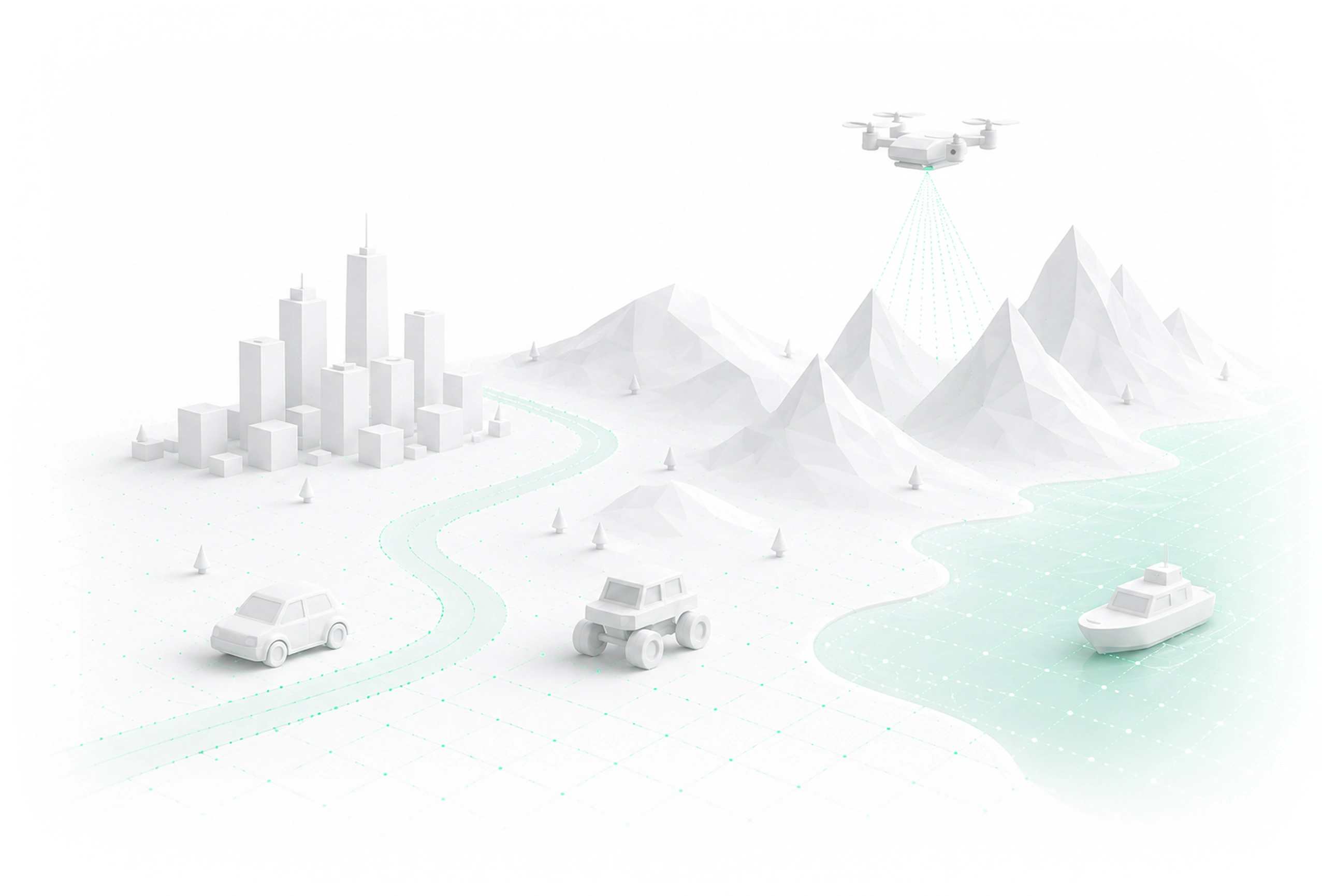
Gimbal not required. No specialized cameras. Monocular, narrow FOV, camera. We run on the cameras you already ship.

Runs on existing computer

Two years of R&D yielded the largest foundation models runnable on limited compute, real-time mapping the world and navigating.

Day-1 deployable

By working with leading OEMs and training industry-leading foundation models, our tech stack generalizes across platforms. You can deploy in days, not months.